Difference between revisions of "Dry ponds: Gallery"
Jump to navigation
Jump to search
Jenny Hill (talk | contribs) m |
Jenny Hill (talk | contribs) m |
||
| (One intermediate revision by the same user not shown) | |||
| Line 1: | Line 1: | ||
<gallery mode="packed" widths=200px heights=200px> | <gallery mode="packed" widths=200px heights=200px> | ||
Avondale Park.jpg|Avondale Park, North York ON | Wishingwellpark.png|Wishing well park is a baseball field with flood warning signs, Scarborough ON | ||
Avondale Park.jpg|Avondale Park, designed for flood storage, but not optimized for infiltration, North York ON | |||
Simon Bunn.PNG|A multi-functional dry basin, still due to be fitted with playground equipment. Cambridge, UK. Photo credit: Simon Bunn | Simon Bunn.PNG|A multi-functional dry basin, still due to be fitted with playground equipment. Cambridge, UK. Photo credit: Simon Bunn | ||
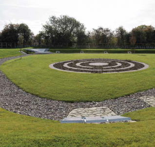
Dry pond.jpg|This [[dry pond]] features a concrete lined low-flow channel. Photo credit: [[Acknowledgements|US EPA]] | Dry pond.jpg|This [[dry pond]] features a concrete lined low-flow channel. Photo credit: [[Acknowledgements|US EPA]] | ||
Latest revision as of 20:42, 27 September 2018
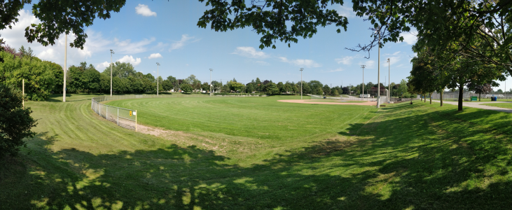
Wishing well park is a baseball field with flood warning signs, Scarborough ON
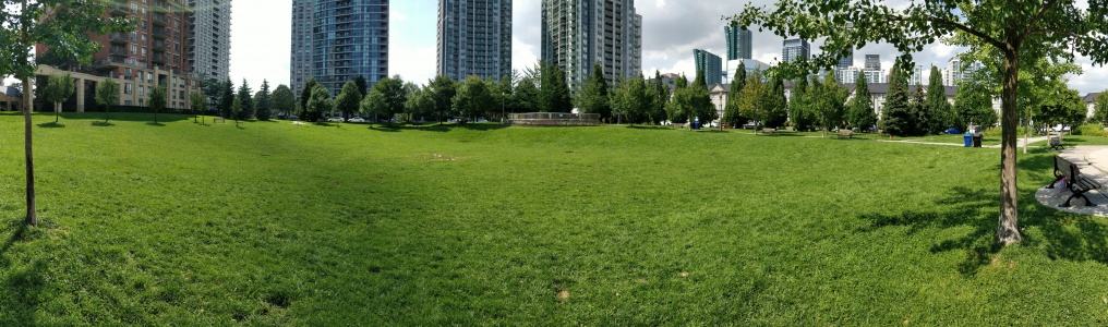
Avondale Park, designed for flood storage, but not optimized for infiltration, North York ON
A multi-functional dry basin, still due to be fitted with playground equipment. Cambridge, UK. Photo credit: Simon Bunn

Stormwater lagoon, Wilmhurst Road, Warwick. UK. Photo credit: Robin Stott

Dry polder northwest of Vincencov, Prostějov. Czech Republic. Photo credit: Jiří Komárek


